 |
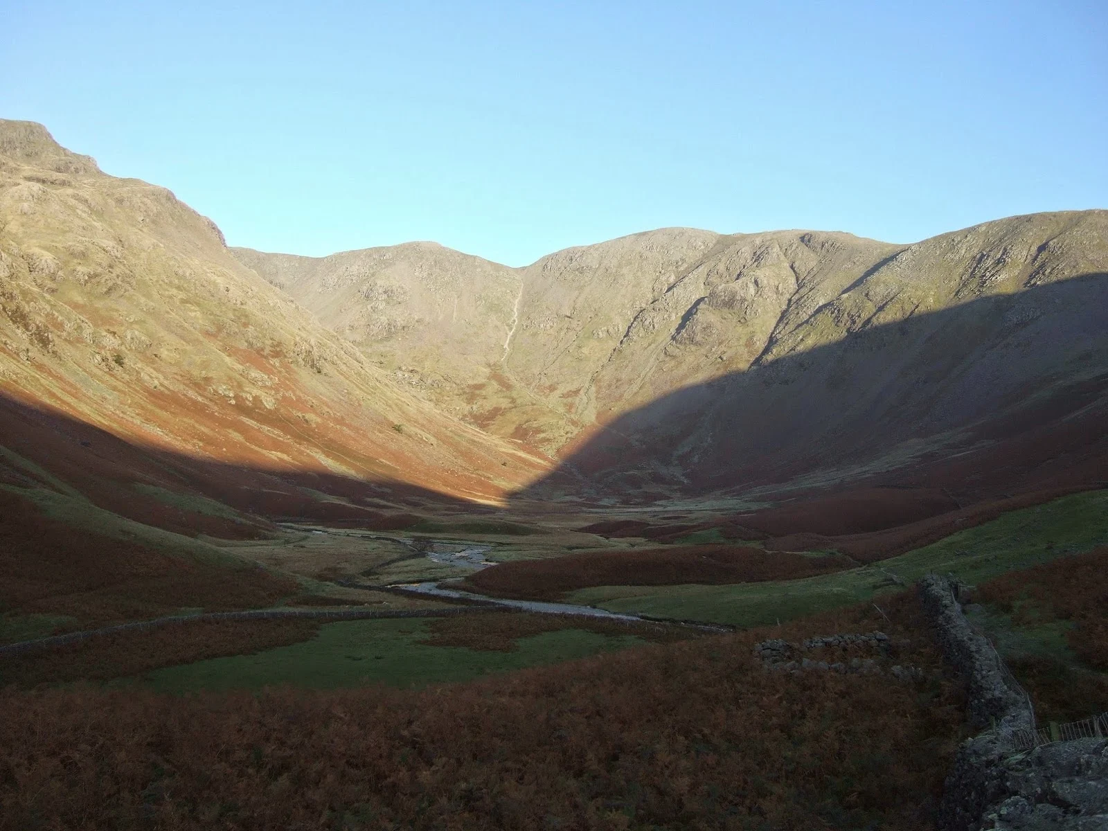
| Looking back from below the pumping station building |
The route - which was made up as I went along - began as a walk up the track from Hartsop just off the Kirkstone road near Patterdale. Staying on the north side of the beck I followed said track past the turn off for Hayes Water (this was to be the return route) and on as far as the old pumping station building. Just before the building another grassy track doubles back across the hillside giving some great views of the
Brothers Water area and Fairfield across the valley. When a large boulder is reached after the wall, a fainter path leads back again and up the steep slopes. This way - with some meandering near the top - brought me to Brock Crags the first summit of the day.
For its lowly altitude Brock Crags is a fine viewpoint and well worth the climb which while short, is steep in its latter stages. From here I followed a path that led back to the main trail to High Street that crosses the fells here. A short distance from the path, Satura Crag is worth a visit for the views it affords in all directions - especially to Boardale and to Angletarn Pikes just beyond Angle Tarn. For peak baggers who haven't already been to the Pikes, it's a short distance left or west on the main path but my route lay the other way over Rest Dodd which would be my high point of the day at 2278ft or 696m.
 |
| Brothers Water and Fairfield |
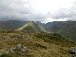
From the summit of Rest Dodd I headed steeply down in a northerly direction along a path that led to the grassy plateau between Rest Dodd and the Nab. Numerous peat hags are in evidence here though keeping right avoids the worst of the bogginess and if the path is followed you should stay dry. Halfway to the Nab was a large isolated boulder - the only rock for some distance around - that I termed a "rest rock" as it was a good place for lunch. The location was extremely peaceful on what was a fine day and curious in the fact that from here one can not see the valleys or indeed any sign of human life. Only the surrounding fells are visible seeming to rise like islands in a sea of grass. Rest Dodd in particular is well seen from here.
So it was on to the summit of the Nab and another tick in the Far Eastern Fells book and a fine view
 |
| Angle Tarn, Angletarn Pikes and Place Fell from Satura Crag |
Returning from the Nab and back over the wide grassy section which lasts about a mile, a wall is reached just after the ascent of Rest Dodd is started. Instead of climbing all the way up to the top again I passed the wall and followed it to the right across the fell side which saved a steep climb. A faint path is presently joined that emerges on the north west side of Rest Dodd, rejoining the path I'd earlier taken to that summit.
Onward and downward then - a return over Brock crags and the way I came would be okay but to
 |
| The Nab from Rest Dodd - Ullswater far distant |
From the lonely Hayeswater reservoir in its steep sided valley, a wide track was followed all the way back to my start point at Hartsop. In all a walk - as done - of 12km or about 8 miles visiting three summits; Brock Crags (561m), Rest Dodd (696m) and the Nab (576m) though it would not add to much to also visit Angletarn Pikes and even the Knott if so desired.
I have recently started making some film clips of these outings but as my spare batteries had even
 |
| Martindale seen from the Nab |
 |
| The "rest rock" in a sea of grass with Rest Dodd beyond |


